.png)


Eyes in the Sky: The Geopolitics of Earth Observation Satellites

From Cold War espionage satellites to tools of geopolitical dominance, Earth observation satellites have undergone radical changes. Information obtained through satellites today becomes crucial for shaping national security, economic, and military strategies. The war between Russia and Ukraine is one example where classified state information acquired via satellites can now be seen by everyone around the world. With the increasing tension between the USA and China, countries understand that information about their adversaries obtained from space is key to any strategic dominance.
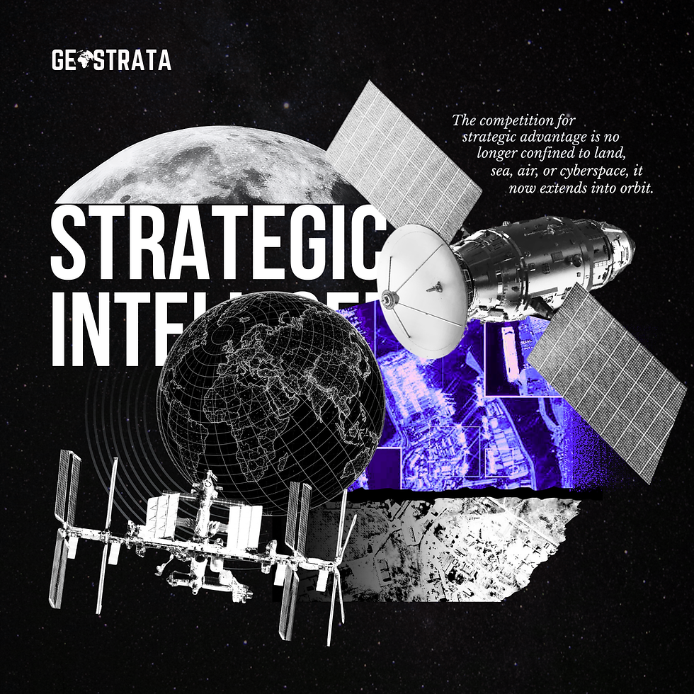
Illustration by The Geostrata
ORIGINS: TACTICAL GAINS FROM SPACE
The race to dominate Earth Observation did not happen overnight, but emerged as the strategic value of space-borne intelligence became known to different nations. In the Cold War era, the Americans and Soviets started the age of spy satellites not because of science but as a necessity due to their rivalry. Ground-based intelligence via airplane surveillance was risky and constrained, and the use of satellites provided a way to spy on the opponent's airspaces undetected.
Both powers were already flying classified observation satellites by the 1960s that were able to observe military bases, missile complexes, and laboratories. It represented a radical change in conducting espionage from traditional methods that used ground intelligence to space surveillance. However, the importance of the rivalry at that point was not only in the technology but in the implication that states began to realize the huge advantage that comes from observing your enemy without being observed yourself.
A country that can spot the deployments of missiles, military exercises, or naval activities has the advantage over the adversary in any crisis. In the case of asymmetric knowledge, when one side knows something that the other side does not know, the conflict can be solved even before it turns into a military one.
The space technology used by superpowers was kept in complete secrecy because its disclosure would be potentially dangerous for the effectiveness of the technology and for the increase in tension. Nevertheless, behind the scenes of secrecy, there was a technological race going on as countries spent a lot to have an advantage over one another.
COMMERCIALIZATION OF SATELLITE TECHNOLOGY
The second phase of the geopolitics of Earth Observation was characterized by the transformation from government monopoly to commercial use. Since the 1990s and even more so during the 2000s, it has become possible for private corporations to produce imaging satellites, thus making available technology that had been used exclusively by intelligence agencies before.
Governments could order and buy images from private companies; researchers and journalists were able to use satellite imagery; businesses monitored their supply chains using satellite images. By the 2010s, companies such as Planet Labs and Maxar Technologies made satellite imagery available at a resolution level sufficient for identifying cars and buildings from space.
This shift brought about a new situation where Earth observation information of high resolution was no longer exclusively in the hands of military and intelligence agencies. The reality here is far more complex, however. Although satellite data became more commercially available, the most technologically developed satellite-based systems were still owned by countries such as the United States, Russia, China, and Europe, which had their own satellite development programs.
However, these nations had spy satellites whose abilities were way beyond those of the satellites used commercially, and they would use them in ways that commercial organisations could not. Furthermore, they controlled the process of manufacturing imaging satellites since they alone have the ability to manufacture semiconductors and optical systems and launch these satellites into orbit.
RUSSIA-UKRAINE CONFLICT: THE WAR SEEN THROUGH SATELLITES
The annexation of Ukraine by Russia has completely changed how satellites operate in terms of geopolitical competition. It is the first time that satellite imagery has been used in such a manner in an important geopolitical incident. In connection with the advance and retreat of Russian forces, there have been efforts to provide evidence by means of photos captured by private satellites, showing not only the destruction of property but also mass graves and crimes committed during the course of the war.
These images quickly reach international viewers and can be viewed through media institutions, social media platforms, and governmental bodies.
Ukraine’s war showed that Earth Observation satellites had developed from being instruments of strategic intelligence to becoming devices of accountability and transparency. But the lesson was bittersweet in another sense because it brought home the paradox that countries competing with each other politically were suddenly living in a world where they could have their military maneuvers observed and broadcast by others in real time.
That doesn’t change the reality that having better satellites provides a competitive edge in terms of obtaining early warnings and information but has completely transformed the informational environment in which the military maneuvers take place. Countries can no longer hope to operate in secrecy but have to prepare themselves for the possibility that they will be observed around the globe within just a few hours.
THE MODERN RACE: ECONOMIC INTELLIGENCE AND STRATEGIC SURVEILLANCE
Additionally to their use in the military field, earth monitoring satellites have become necessary for the overall geopolitical environment. Countries utilize satellites to monitor economic activities through the surveillance of shipping ports to gauge trade patterns, agricultural output to determine yields, and mining activities to determine available resources. Through this economic intelligence, countries can gain an advantage in negotiations, sanctions policies, and economic races.
A country that knows the economic capability of its rivals is endowed with important information for policymaking.
As the US and China are competing strategically in various domains, both have invested heavily in Earth observation systems as an element of their competition with each other. The US and China are both well aware of the fact that satellites can be used in many ways, such as military intelligence in case of any possible conflict, economic intelligence, and strategic knowledge, which influences the decision-making process during crises. India, too, has made sure to use space technology for Earth observation to deal with the threats of security in the South Asian region.
ROLE OF THE PRIVATE SECTOR
The rise of private space firms has completely changed the nature of Earth observation competition and led to a new era of space rivalry. With the help of reusable rockets, companies like SpaceX have managed to significantly reduce the cost of launches, which has made it possible for many countries and even private organisations to launch satellite constellations.
Thus, nations which did not have enough resources to maintain their own space programs can now afford to build their own Earth observation technologies. Now, countries such as Turkey, the United Arab Emirates, and even some smaller countries have started launching their own reconnaissance satellites, thus making access to space less of a privilege for non-superpowers and more of a strategic tool for any nation.
NEW SPACE RACE
The current space race is completely different from what was seen during the Cold War period. Instead of two rival superpowers, the current situation represents multipolarity, as private corporations, newly emerging space countries, and superpowers are competing at once. Companies such as Axiom Space, Relativity Space, and various startups are developing sophisticated satellites and launch vehicles.
Through Defence Advanced Research Projects Agency (DARPA)'s $6.5 million Lift Challenge, new kinds of drones that can lift burdens four times their own weight are being encouraged, far surpassing the existing one-to-one ratios in use now. Countries are aware that control over access to commercial launch capabilities is an effective leverage since only those who can send their satellites into space will be able to operate there.
THE GEOPOLITICAL IMPLICATIONS: INFORMATION AS A FORM OF POWER
Information becomes an important aspect of geopolitics because information determines who has the information first and who has the most accurate information. Since there are rapid changes in today’s world and any military operation should be done within minutes or hours, satellite intelligence helps gain an advantage because it allows one to know what is happening in advance and what steps should be taken to address this situation.
The country that gets information first will always have an advantage in making decisions and shaping the course of events.
In essence, the competition involving Earth observation satellites is indicative of the change in power in the modern age. Conventional military power is essential, but the capacity to view happenings all around the globe via a network of sensors on board satellites has gained equal significance. Countries that possess the ability to undertake Earth observation put themselves at an advantage, where they can prepare themselves for any threat or benefit from any opportunity.
The significance of Earth observation satellites in modern-day geopolitical rivalries marks an important shift in terms of the new way that states conduct themselves. With more and more satellites being deployed into orbit and with the ability to instantaneously utilize any information obtained through these means of observation, it is clear that the future geopolitical environment will revolve around the ability of some nations to have the best technologies available.
BY HEMA
TEAM GEOSTRATA


Understanding the difference between a delay at a specific server versus a broader authentication failure is key to fixing email issues. A dashboard that separates these elements helps in forming the right hypothesis quickly. The fact that it supports multiple languages is a practical benefit for global teams. For a tool that helps trace the email relay route, this seems like a solid option.
What I found most interesting here is how satellite imagery has shifted from something highly secretive to a resource that can influence public understanding of events. The move toward commercial Earth observation has made information much more accessible, while governments still maintain capabilities far beyond what is publicly available. It really shows how much strategic power can come from simply being able to see what is happening from above. Even areas like spinmama depend on the broader digital world where information can move quickly across borders. Overall, a fascinating look at how space technology has changed geopolitics.
Very informative post. Students can benefit from collecting useful educational resources, and pinterest video download may help them keep relevant videos available for future reference.